About Us

Our Approach
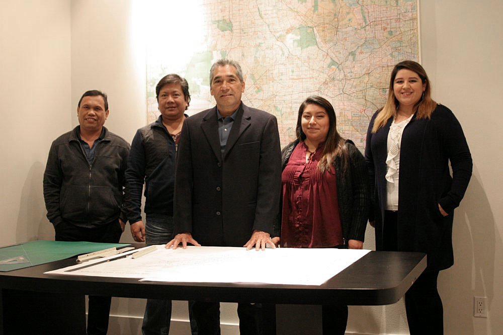
Ray Lombera and Associates is a professional, high technology surveying and mapping firm. It was founded in 2001 by Ray Lombera to provide services to architects, engineers, public agencies and private industry throughout Southern California.
In its many years of service, the firm has gained experience and capabilities in many aspects of surveying, mapping and land development, including topographic mapping (aerial & terrestrial), control survey (GPS or conventional) and adjustment, database services, boundary analysis and survey, compilation and processing of record of survey and parcel maps, tract maps, corner records, alley and street vacations, lot line adjustment, legal description preparation, ALTA surveys, architectural design surveys and right-of-way surveying and mapping.
Ray Lombera and Associates has for the past years been dedicated to not only serving the client’s needs, but also to anticipating and solving potential problems before they arise. This is accomplished through hands-on project participation by the principal, consistent and clear communication with the client, and use of the latest technology in surveying equipment and methods. Our staff is fully capable in GPS, electronic data collection and transfer, and CAD mapping.